

Pawleys Island Topo map Placemats, set of 4
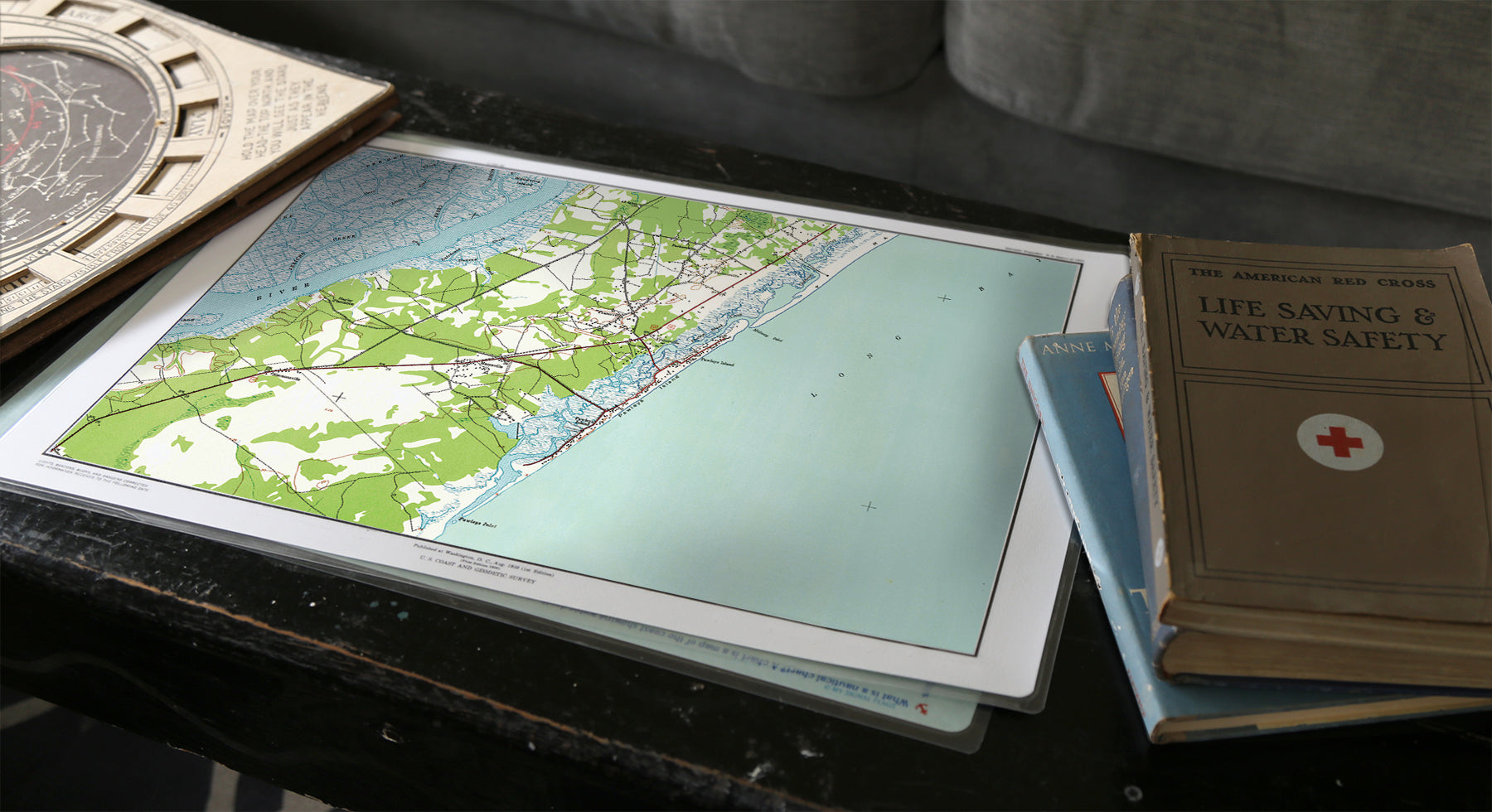
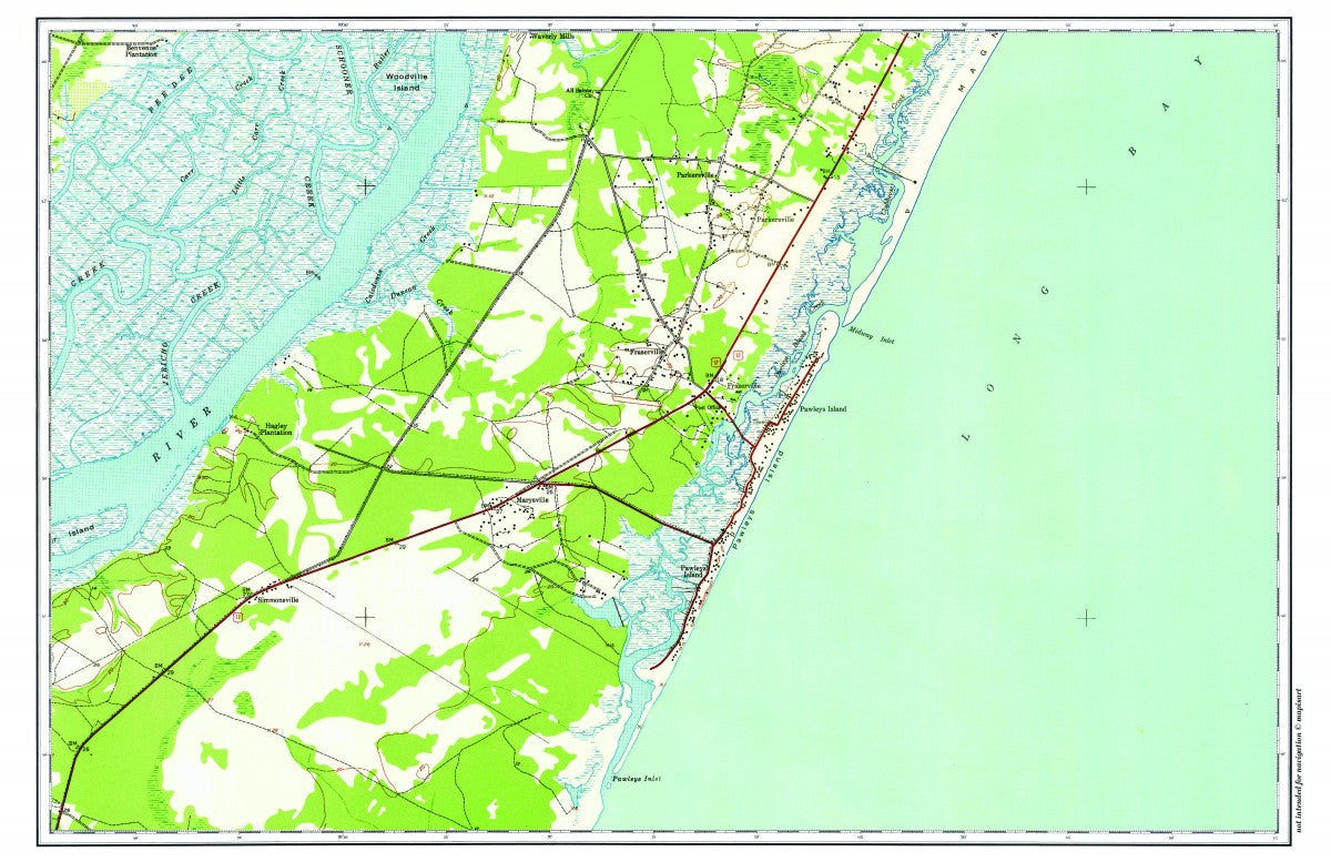
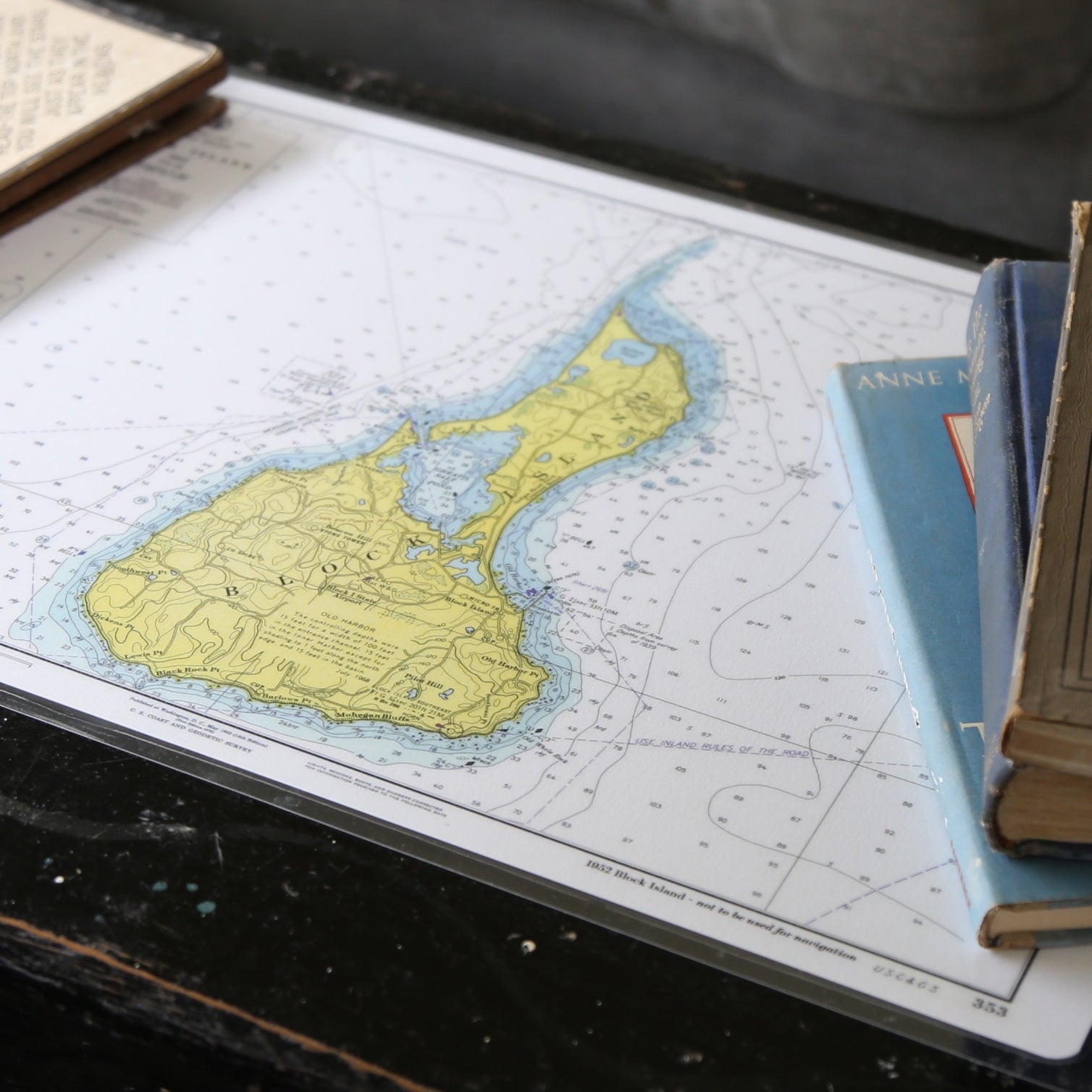
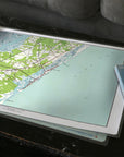
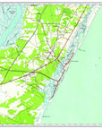
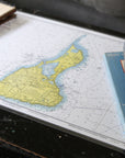
Yes! Finally a vintage chart laminated placemat - just like the kind you grew up with. Featuring a beautifully detailed topo map of Pawleys Island and surrounding waters, it’s a timeless tribute to South Carolina's Lowcountry charm.
And yes we have your favorite spot - if you don't see it, just email us your request.
Durable, wipeable, and designed to last, it's a perfect blend of old-school function and coastal pride. From the salt marshes to the Atlantic shoreline, it’s perfect for shrimp boils, sweet tea, and keeping the table neat after a breezy day on the waterway.
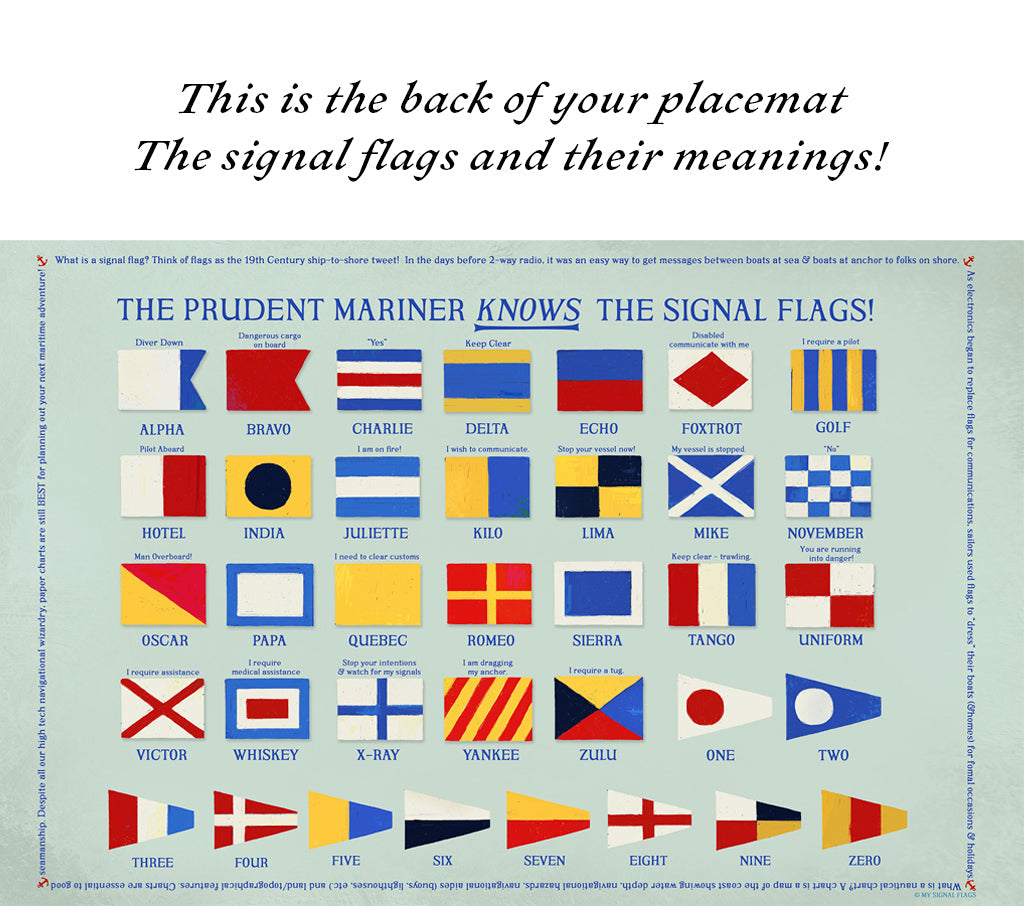
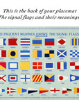
This 4 pack (of the same chart) is a great way to teach kids (and adults!) local geography, and signal flags. Side A has a full color beautiful printing of your chart, and Side B has all the signal flags with their individual meanings - A - Z 1-2-3...
Your Pawleys Island placemats are made to order and ship within THREE days from Fall River, Massachusetts. Thick 7ml lamination on 11" x 17" heavy weight paper means you'll have these placemats for years. Completely submerge in water to wash, again and again.